Drew Ludwig · 15 September 2026
Data from Ground Observatories Illuminates Trends in Artificial Object Clustering at Various Altitudes
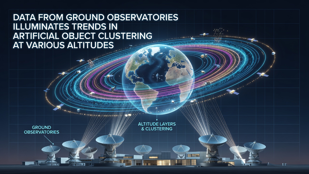
Ground observatories around the world have compiled extensive datasets on artificial objects in Earth orbit, revealing distinct clustering patterns that vary by altitude band. These facilities track satellites, rocket bodies, and fragments through optical and radar systems, and their records show how objects accumulate in specific regions rather than distributing evenly across all altitudes.
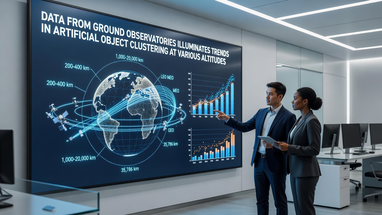
Low Earth orbit, spanning roughly 160 to 2,000 kilometers, contains the highest concentration of tracked objects according to multiple observatory networks. Data collected over the past decade indicates that this zone accounts for more than 60 percent of catalogued items, driven by frequent launches and the resulting debris from breakups. Observers note that certain inclinations see heavier accumulation, particularly near 800 kilometers where sun-synchronous orbits host many Earth-observation platforms.
Patterns Across Medium and Geostationary Altitudes
Medium Earth orbit, between 2,000 and 35,786 kilometers, exhibits lower overall density yet shows localized clustering around navigation constellations such as GPS and Galileo. Ground measurements confirm that these objects maintain tighter orbital planes, which reduces but does not eliminate collision probabilities during station-keeping maneuvers. In geostationary orbit at approximately 35,786 kilometers, clustering appears along the equatorial plane where operators station communication satellites, and long-term tracking reveals gradual drift patterns as older spacecraft reach end of life.
Researchers at facilities in both hemispheres have cross-referenced optical observations with radar returns to refine altitude-specific density models. These combined datasets highlight how launch cadences directly influence clustering rates, with peaks following major deployment campaigns. For instance, the period leading into September 2026 saw renewed activity from multiple commercial providers, adding fresh objects that ground systems quickly incorporated into existing catalogs.
Data Collection Methods and Validation
Optical telescopes provide high-resolution imagery for objects in sunlight while radar systems operate continuously regardless of lighting conditions. European facilities coordinated through the European Space Agency contribute regular updates on object counts per altitude shell, and North American networks supply complementary tracking that fills coverage gaps. Together these sources allow analysts to distinguish between intact spacecraft, spent upper stages, and smaller fragments that dominate lower altitudes.
Altitude-specific trends also reflect atmospheric drag effects that pull objects downward over time, concentrating debris in the uppermost layers of low Earth orbit before eventual reentry. Ground data from 2024 through mid-2026 shows a measurable uptick in fragment populations at 500 to 600 kilometers, consistent with several documented breakup events. Such observations help refine propagation models used by space situational awareness centers.
Regional Observatory Contributions
Australian and South African sites add southern hemisphere perspectives that improve global coverage, particularly for objects in high-inclination orbits. Their records align with northern data on overall clustering but reveal subtle differences in detection rates for smaller debris during twilight periods. Meanwhile, academic programs at several universities process raw observatory feeds to extract statistical distributions that feed into international databases.
September 2026 observations have already begun incorporating new sensor upgrades at key sites, increasing the precision of altitude measurements by several kilometers. These enhancements allow better resolution of clusters near orbital resonances where objects experience periodic gravitational perturbations from the Moon and Sun. Analysts expect the updated figures to clarify whether recent launch surges have shifted peak densities within the 700 to 900 kilometer band.
Implications for Future Tracking
Long-term records demonstrate that clustering intensity correlates with both launch frequency and mitigation practices such as post-mission disposal. Facilities continue to monitor how effective these measures prove across different altitude regimes, supplying evidence that informs regulatory discussions at national and international levels. Ground-based data remains essential because it provides independent verification of on-orbit catalogs maintained by operators.
Conclusion
Ground observatory networks deliver the foundational measurements that map artificial object clustering by altitude, and their ongoing work supplies the factual baseline for space traffic management. Continued cross-calibration between sites and sensor types will sustain the accuracy of these trends as orbital populations evolve through 2026 and beyond.